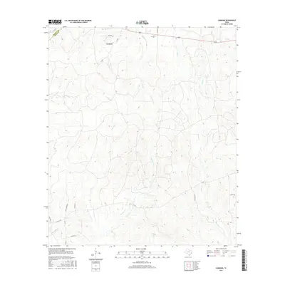
2016 Map of Carmona
USGS Topo · Published 2016About this map
Carmona sits at the northern edge of this West Polk County landscape, centered along 287 near the boundary with Trinity Co. The topography is defined by a dense network of tributaries, including White Oak Creek, Rocky Creek, and Meadow Creek, which carve through the terrain and dictate the winding paths of local roads. While the settlement itself is modest, the map reveals deep-rooted local history through features like the Carmona Cem and namesake thoroughfares such as Towns Cemetery Rd.
Find a feature on this map
30 named features on this map. Tap any name to fly to it.
Don’t see what you’re looking for? This feature index may not catch every label — zoom into the map to look around manually.
Map Details
Editions of this 2016 Carmona Map
This is the sole edition of this map. No revisions or reprints were ever made.
Other maps of this area

1953 · Palestine
USGS Topo · 1:250,000

1954 · Beaumont
USGS Topo · 1:250,000

1955 · New Willard
USGS Topo · 1:62,500

1957 · Beaumont
USGS Topo · 1:250,000

1957 · Palestine
USGS Topo · 1:250,000

1960 · Colita
USGS Topo · 1:24,000

1961 · Onalaska
USGS Topo · 1:24,000

1963 · Groveton East
USGS Topo · 1:24,000
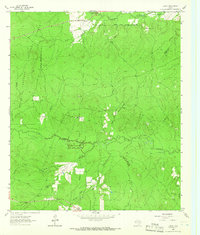
1963 · Trevat
USGS Topo · 1:24,000
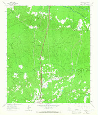
1963 · Wakefield
USGS Topo · 1:24,000