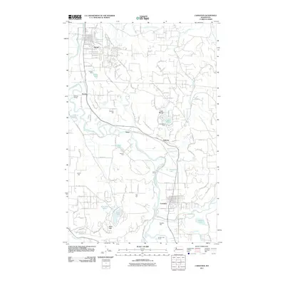
2011 Map of Carnation
USGS Topo · Published 2011About this map
The Snoqualmie River meanders through this portion of King County, defining the agricultural and residential character of the valley floor. The town of Duvall sits in the northwest, while the city of Carnation anchors the south near the confluence with the Tolt River. Between these hubs, the landscape transitions from the river's broad floodplain to the elevated terrain of Novelty Hill and Tolt Hill. Water remains a central theme, with smaller communities like Lake Marcel and Ames Lake clustered around their namesake bodies of water.
Find a feature on this map
62 named features on this map. Tap any name to fly to it.
Don’t see what you’re looking for? This feature index may not catch every label — zoom into the map to look around manually.
Map Details
Editions of this 2011 Carnation Map
This is the sole edition of this map. No revisions or reprints were ever made.
Other maps of this area

1895 · Snohomish
USGS Topo · 1:125,000

1897 · Seattle
USGS Topo · 1:125,000

1921 · Sultan
USGS Topo · 1:125,000

1923 · Sultan
USGS Topo · 1:125,000

1944 · Everett
USGS Topo · 1:62,500

1950 · Redmond
USGS Topo · 1:24,000

1950 · Issaquah
USGS Topo · 1:24,000

1953 · Snoqualmie
USGS Topo · 1:24,000

1953 · Sultan
USGS Topo · 1:24,000

1953 · Lake Joy
USGS Topo · 1:24,000