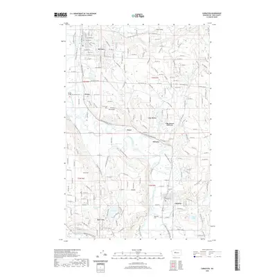
2020 Map of Carnation
USGS Topo · Published 2020About this map
Duvall and Carnation anchor this stretch of the Snoqualmie River valley, where the water's meandering path has shaped local development and agriculture. The landscape transitions from the river bottomlands up into the timbered slopes of Novelty Hill and Tolt Hill, punctuated by natural features like Ames Lake and the Lake Marcel-Stillwater area. The Snoqualmie Valley Trail N follows a historic rail corridor, linking the smaller settlements of Novelty, Stillwater, and Stuart. Local history and genealogy interest is concentrated near the river's edge, where Novelty Cem and Carnation Cem are situated on higher ground. The map also records specialized infrastructure like the Tolt Pipeline Trail and Loutsis Dam, reflecting the region's role in the broader Pacific Northwest water management system.
Find a feature on this map
36 named features on this map. Tap any name to fly to it.
Don’t see what you’re looking for? This feature index may not catch every label — zoom into the map to look around manually.
Map Details
Editions of this 2020 Carnation Map
This is the sole edition of this map. No revisions or reprints were ever made.
Other maps of this area

1895 · Snohomish
USGS Topo · 1:125,000

1897 · Seattle
USGS Topo · 1:125,000

1921 · Sultan
USGS Topo · 1:125,000

1923 · Sultan
USGS Topo · 1:125,000

1944 · Everett
USGS Topo · 1:62,500

1950 · Redmond
USGS Topo · 1:24,000

1950 · Issaquah
USGS Topo · 1:24,000

1953 · Snoqualmie
USGS Topo · 1:24,000

1953 · Sultan
USGS Topo · 1:24,000

1953 · Lake Joy
USGS Topo · 1:24,000