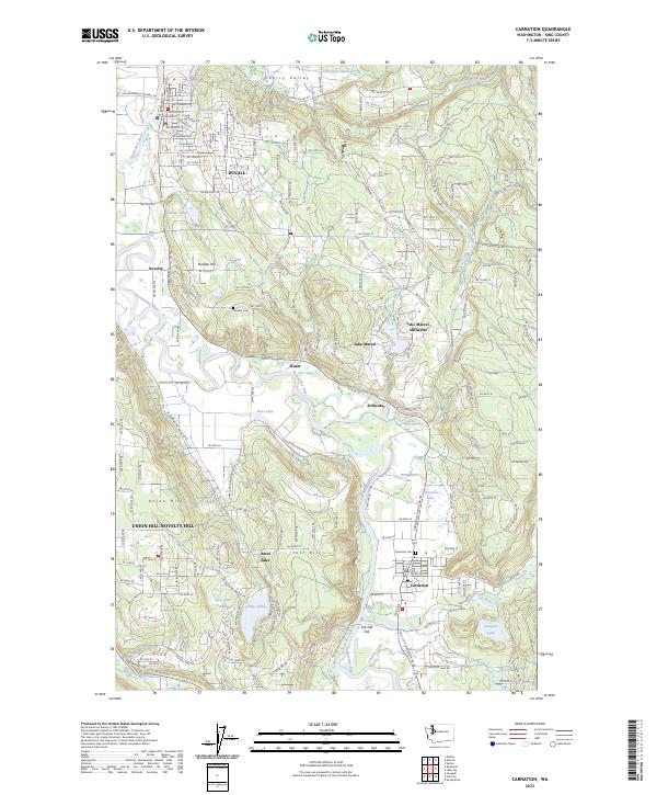
2023 Map of Carnation
USGS Topo · Published 2023About this map
The Snoqualmie River carves a wide alluvial valley through this section of King County, anchoring a series of rural communities and agricultural flats. The settlement of Duvall occupies the northern reaches of the valley, while Carnation sits at the confluence where the Tolt River emerges from the eastern uplands. This area preserves a distinct geography of small-scale water bodies, including Ames Lake, Sikes Lake, and the oxbow Horseshoe Lake.
Find a feature on this map
97 named features on this map. Tap any name to fly to it.
Don’t see what you’re looking for? This feature index may not catch every label — zoom into the map to look around manually.
Map Details
Editions of this 2023 Carnation Map
This is the sole edition of this map. No revisions or reprints were ever made.
Other maps of this area

1895 · Snohomish
USGS Topo · 1:125,000

1897 · Seattle
USGS Topo · 1:125,000

1921 · Sultan
USGS Topo · 1:125,000

1923 · Sultan
USGS Topo · 1:125,000

1944 · Everett
USGS Topo · 1:62,500

1950 · Redmond
USGS Topo · 1:24,000

1950 · Issaquah
USGS Topo · 1:24,000

1953 · Snoqualmie
USGS Topo · 1:24,000

1953 · Sultan
USGS Topo · 1:24,000

1953 · Lake Joy
USGS Topo · 1:24,000