
1947 Map of Carolina
USGS Topo · Published 1947About this map
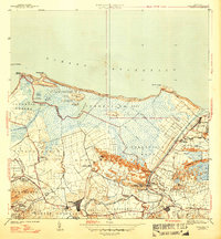
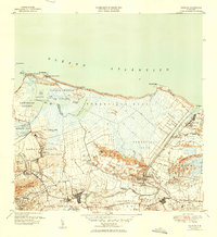
Carolina and the surrounding sugar-producing landscapes of northeast Puerto Rico are documented here following a 1940 survey. The coastal geography is defined by the Bosque Insular de Piñones and the expansive waters of Laguna Torrecilla and Laguna de Piñones. This era's agrarian economy is evident in the numerous labor settlements and processing hubs, including Central Victoria and Central Canóvanas.
Find a feature on this map
66 named features on this map. Tap any name to fly to it.
Don’t see what you’re looking for? This feature index may not catch every label — zoom into the map to look around manually.
Map Details
Editions of this 1947 Carolina Map
3 editions found
Other maps of this area

1940 · Carolina
USGS Topo · 1:30,000

1941 · San Juan
USGS Topo · 1:30,000

1941 · Rio Grande
USGS Topo · 1:30,000

1941 · Carolina
USGS Topo · 1:30,000

1945 · El Yunque
USGS Topo · 1:30,000

1946 · El Yunque
USGS Topo · 1:30,000

1946 · Aguas Buenas
USGS Topo · 1:30,000

1946 · Gurabo
USGS Topo · 1:30,000

1947 · Gurabo NE
USGS Topo · 1:10,000

1947 · Rio Grande
USGS Topo · 1:30,000