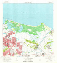
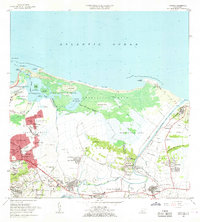
1969 Map of Carolina
USGS Topo · Published 1972About this map
Coastal lagoons and expanding residential developments define this late-1960s landscape along the Atlantic coast. The massive footprint of the Aeropuerto Internacional de Isla Verde and the adjacent Bosque Estatal de Piñones anchor the northern shore, while the interior shows the rapid urbanization of barrios like Carolina and Canóvanas. The Río Grande de Loíza meanders through the eastern section, its floodplain marked by numerous caños and the settlement of Loíza Aldea. Local infrastructure is highly detailed, showing the Hipódromo El Comandante and specialized institutions such as the Seminario Episcopal del Caribe and Academia Militar John F Kennedy. The transition from the rural sugar-growing past is evident in the presence of the Antigua Via del Ferrocarril, contrasted with modern housing like Valle Arriba Heights and Villa Fontana.
Find a feature on this map
104 named features on this map. Tap any name to fly to it.
Don’t see what you’re looking for? This feature index may not catch every label — zoom into the map to look around manually.
Map Details
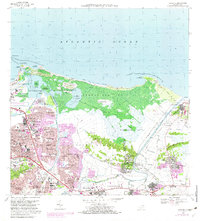
Editions of this 1969 Carolina Map
3 editions found
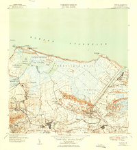
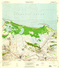
Historical Maps of Carolina Through Time
9 maps found

1940 Carolina
Carolina Municipio, PR

1941 Carolina
Carolina Municipio, PR
1947 Carolina
Carolina Municipio, PR
1957 Carolina
Carolina Municipio, PR
1963 Carolina
Carolina Municipio, PR

1969 Carolina
Carolina Municipio, PR
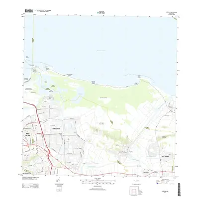
2013 Carolina
Carolina Municipio, PR
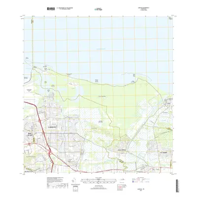
2018 Carolina
Carolina Municipio, PR
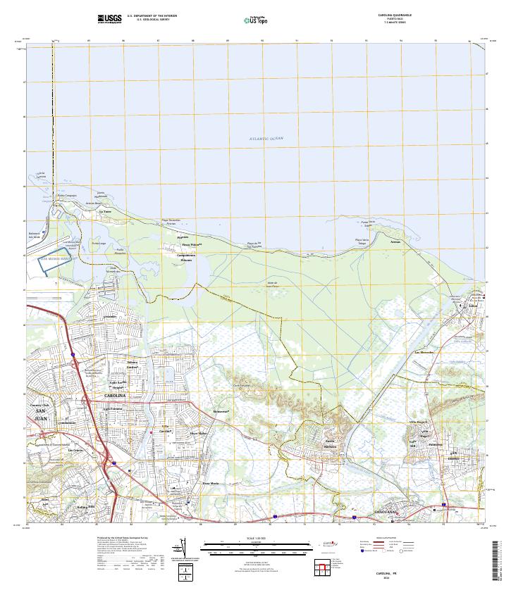
2024 Carolina
Carolina Municipio, PR