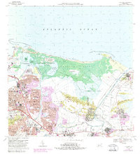
1969 Map of Carolina
USGS Topo · Published 1988About this map
The Rio Grande de Loiza snakes through the eastern portion of this coastal landscape, passing the settlement of Loíza and the industrial tracks of the Ferrocarril de Puerto Rico. To the west, the mid-century expansion of Carolina is evident in the dense residential grids of Valle Arriba Heights and Villa Fontana, which press against the marshy expanse of Torrecilla Alta. This era captures a region in transition, where the historic maritime environment of the Bosque Estatal de Piñones and Laguna la Torrecilla meets modern infrastructure like the Aeropuerto Internacional de Isla Verde. Educational and religious institutions such as the Seminario Episcopal del Caribe and the Academia Militar John F Kennedy are established landmarks among the suburban growth. South of the lagoons, the landscape rises into the Los Cerros hills, while the Hipodromo El Comandante stands as a prominent cultural fixture near the Quebrada Blasina.
Find a feature on this map
104 named features on this map. Tap any name to fly to it.
Don’t see what you’re looking for? This feature index may not catch every label — zoom into the map to look around manually.
Map Details
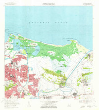
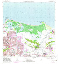
Editions of this 1969 Carolina Map
3 editions found
Other maps of this area

1940 · Carolina
USGS Topo · 1:30,000

1941 · San Juan
USGS Topo · 1:30,000

1941 · Rio Grande
USGS Topo · 1:30,000

1941 · Carolina
USGS Topo · 1:30,000

1945 · El Yunque
USGS Topo · 1:30,000

1946 · El Yunque
USGS Topo · 1:30,000

1946 · Aguas Buenas
USGS Topo · 1:30,000

1946 · Gurabo
USGS Topo · 1:30,000

1947 · Carolina
USGS Topo · 1:30,000

1947 · Gurabo NE
USGS Topo · 1:10,000