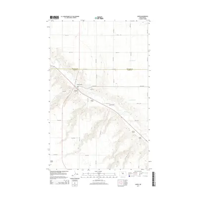
2014 Map of Carpio
USGS Topo · Published 2014About this map
The Des Lacs River valley defines this part of the northern plains, cutting a deep path through the prairie where the town of Carpio is situated. This 2014 survey documents the town at a high level of detail, showing the local Post Office and the crossing of Main St. Outside of the town center, the landscape is marked by a series of significant drainage features named for local families and early settlers, including Flaten Coulee, Johnson Coulee, and Oleaas Coulee. North of the settlement, Saint Johns Cem sits on the higher ground overlooking the river valley. The map also records water management efforts in the region, such as the Unit 87 Reservoir and Unit 96 Reservoir, which sit atop the eastern plateau above the river's winding course.
Find a feature on this map
28 named features on this map. Tap any name to fly to it.
Don’t see what you’re looking for? This feature index may not catch every label — zoom into the map to look around manually.
Map Details
Editions of this 2014 Carpio Map
This is the sole edition of this map. No revisions or reprints were ever made.
Other maps of this area

1947 · Tolley
USGS Topo · 1:62,500

1949 · Tolley SE
USGS Topo · 1:24,000

1949 · Hartland
USGS Topo · 1:24,000

1949 · Carpio NE
USGS Topo · 1:24,000

1949 · Carpio
USGS Topo · 1:24,000

1949 · Grano SW
USGS Topo · 1:24,000

1949 · Grano
USGS Topo · 1:24,000

1950 · Tolley
USGS Topo · 1:62,500

1950 · Des Lacs
USGS Topo · 1:24,000
1951 · Grano
USGS Topo · 1:62,500