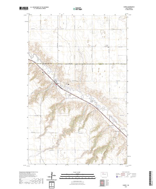
2024 Map of Carpio
USGS Topo · Published 2024About this map
Carpio is the central hub of this northern plains landscape, situated where the Des Lacs River cuts through the glacial till of the Missouri Coteau. This modern survey illustrates the deeply etched drainage patterns of the region, defined by a series of prominent coulees including Flaten Coulee, Johnson Coulee, and Oleads Coulee. These geographical features influenced the placement of early transportation routes and the establishment of local burial grounds. Genealogists will find three distinct cemeteries marking the area's heritage: Nazareth Lutheran Cem to the north, First Lutheran Cem on the western heights above town, and Saint Johns Cem tucked into the river valley. The map clearly shows the transition across the Renville Co and Ward Co line, with a rigid grid of rural roads like 254th ST NW and 212th ST NW framing the agricultural sections.
Find a feature on this map
35 named features on this map. Tap any name to fly to it.
Don’t see what you’re looking for? This feature index may not catch every label — zoom into the map to look around manually.
Map Details
Editions of this 2024 Carpio Map
This is the sole edition of this map. No revisions or reprints were ever made.
Other maps of this area

1947 · Tolley
USGS Topo · 1:62,500

1949 · Tolley SE
USGS Topo · 1:24,000

1949 · Hartland
USGS Topo · 1:24,000

1949 · Carpio NE
USGS Topo · 1:24,000

1949 · Carpio
USGS Topo · 1:24,000

1949 · Grano SW
USGS Topo · 1:24,000

1949 · Grano
USGS Topo · 1:24,000

1950 · Tolley
USGS Topo · 1:62,500

1950 · Des Lacs
USGS Topo · 1:24,000
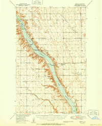
1951 · Grano
USGS Topo · 1:62,500