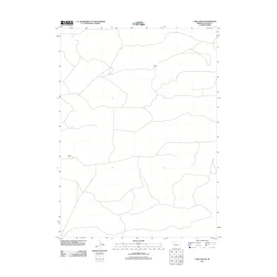
2011 Map of Carr Lake NE
USGS Topo · Published 2011About this map
E Carr Ranch and Furrow Ranch are the primary named landmarks in this sparsely settled portion of the Nebraska Sandhills. The landscape is defined by the winding network of ranch roads and faint trails that navigate the undulating terrain, characteristic of Hooker County's cattle country. This 2011 survey, compiled by the U.S. Geological Survey using data from the National Hydrography Dataset and recent imagery, illustrates a vast, open territory where settlement is concentrated around these family-named operations. The map provides a clear look at the relationship between these remote outposts and the seasonal water features that dictate the movement of livestock and the placement of human infrastructure in this part of the Great Plains.
Find a feature on this map
2 named features on this map. Tap any name to fly to it.
Don’t see what you’re looking for? This feature index may not catch every label — zoom into the map to look around manually.
Map Details
Editions of this 2011 Carr Lake NE Map
This is the sole edition of this map. No revisions or reprints were ever made.
Other maps of this area

1947 · Dismal River Ranch
USGS Topo · 1:62,500

1948 · Carr Lake
USGS Topo · 1:62,500

1948 · Mullen
USGS Topo · 1:62,500

1949 · Dismal River Ranch
USGS Topo · 1:62,500

1950 · Carr Lake
USGS Topo · 1:62,500

1950 · Hire
USGS Topo · 1:62,500

1951 · Mullen
USGS Topo · 1:62,500

1954 · North Platte
USGS Topo · 1:250,000

1956 · North Platte
USGS Topo · 1:250,000

1957 · North Platte
USGS Topo · 1:250,000