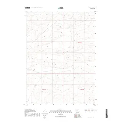
2017 Map of Carr Lake NE
USGS Topo · Published 2017About this map
The rolling sand dunes of Hooker County define this landscape, as documented in a 2017 study by the U.S. Department of the Interior. This particular area is a mosaic of intricate landforms and depressions typical of the Nebraska Sandhills, partitioned by the Public Land Survey System. The map centers on the intersections of four major survey sections: T23n R35w, T23n R34w, T22n R35w, and T22n R34w. While the terrain remains largely undeveloped, the survey reveals subtle 4WD trails and local connectors that navigate between the steep slopes and interdunal basins. For those studying the geography of the central Great Plains, these contours provide a clear picture of the complex drainage and elevation patterns characteristic of this part of Nebraska.
Find a feature on this map
4 named features on this map. Tap any name to fly to it.
Don’t see what you’re looking for? This feature index may not catch every label — zoom into the map to look around manually.
Map Details
Editions of this 2017 Carr Lake NE Map
This is the sole edition of this map. No revisions or reprints were ever made.
Other maps of this area

1947 · Dismal River Ranch
USGS Topo · 1:62,500

1948 · Carr Lake
USGS Topo · 1:62,500

1948 · Mullen
USGS Topo · 1:62,500

1949 · Dismal River Ranch
USGS Topo · 1:62,500

1950 · Carr Lake
USGS Topo · 1:62,500

1950 · Hire
USGS Topo · 1:62,500

1951 · Mullen
USGS Topo · 1:62,500

1954 · North Platte
USGS Topo · 1:250,000

1956 · North Platte
USGS Topo · 1:250,000

1957 · North Platte
USGS Topo · 1:250,000