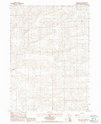
1985 Map of Carr Lake NE
USGS Topo · Published 1986About this map
E Carr Ranch and Furrow Ranch are the primary cultural markers in this mid-1980s topographic record of Hooker County. The landscape is dominated by a complex network of sand dunes and depressions, characteristic of the Nebraska Sandhills, where human presence is defined by isolated ranching outposts connected by unimproved roads and four-wheel-drive trails. The lack of traditional townships or schools reflects the sparse population and the specialized cattle-ranching economy of the region. This 1985 survey illustrates the enduring nature of these large landholdings, where navigation relies on family-named landmarks and the subtle variations of the sandy terrain rather than a dense grid of infrastructure.
Find a feature on this map
3 named features on this map. Tap any name to fly to it.
Don’t see what you’re looking for? This feature index may not catch every label — zoom into the map to look around manually.
Map Details
Editions of this 1985 Carr Lake NE Map
This is the sole edition of this map. No revisions or reprints were ever made.
Other maps of this area

1947 · Dismal River Ranch
USGS Topo · 1:62,500

1948 · Carr Lake
USGS Topo · 1:62,500

1948 · Mullen
USGS Topo · 1:62,500

1949 · Dismal River Ranch
USGS Topo · 1:62,500

1950 · Carr Lake
USGS Topo · 1:62,500

1950 · Hire
USGS Topo · 1:62,500

1951 · Mullen
USGS Topo · 1:62,500

1954 · North Platte
USGS Topo · 1:250,000

1956 · North Platte
USGS Topo · 1:250,000

1957 · North Platte
USGS Topo · 1:250,000