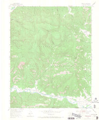
1954 Map of Carracas
USGS Topo · Published 1968About this map
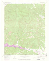
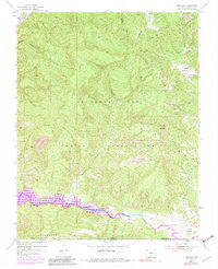
The Southern Ute Indian Reservation dominates the landscape of this 1950s study, where the high plateaus of Sandoval Mesa drop toward the fertile river valleys of the Colorado-New Mexico border. Life in this corner of Archuleta County follows the path of the San Juan River and the Piedra River, which converge in the southwestern corner of the sheet. The settlement of Carracas sits at the southern edge of the survey, positioned along the vital transport corridor of the Denver and Rio Grande Western Railroad. To the north and east, the terrain becomes increasingly complex, marked by deep drainages like Cañada de la Nutrita and the distinctive peak of Cerro del Zopilote, illustrating the traditional ranching and transit patterns of the high desert borderlands.
Find a feature on this map
17 named features on this map. Tap any name to fly to it.
Don’t see what you’re looking for? This feature index may not catch every label — zoom into the map to look around manually.
Map Details
Editions of this 1954 Carracas Map
7 editions found
Other maps of this area

1889 · Largo
USGS Topo · 1:250,000

1895 · Largo
USGS Topo · 1:250,000

1924 · Pagosa Springs
USGS Topo · 1:125,000

1927 · Pagosa Springs
USGS Topo · 1:125,000

1945 · Durango
USGS Topo · 1:250,000

1953 · Durango
USGS Topo · 1:250,000

1954 · Durango
USGS Topo · 1:250,000

1954 · Allison
USGS Topo · 1:24,000

1954 · Carracas
USGS Topo · 1:24,000

1954 · Rosa
USGS Topo · 1:24,000