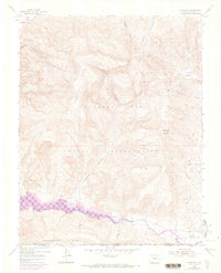
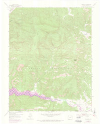
1954 Map of Carracas
USGS Topo · Published 1973About this map
The Southern Ute Indian Reservation dominates this Colorado landscape, where the confluence of the Piedra River and the San Juan River defines the local topography. This 1954 data, later updated with aerial photography from 1971, captures the area during the development of the Navajo Reservoir. Purple revisions on the sheet indicate areas subject to controlled inundation, illustrating how the rising waters would eventually reshape the valley floor. Near the settlement of Carracas, an Old Railroad Grade follows the northern bank of the San Juan, tracing a vanished transportation corridor beneath the heights of Carracas Rim. The rugged character of the terrain is marked by prominent landforms such as Sandoval Mesa and named canyons like Sandoval Canyon and Deep Canyon, providing a detailed look at the Archuleta County borderlands before modern flooding significantly altered the river basin.
Find a feature on this map
22 named features on this map. Tap any name to fly to it.
Don’t see what you’re looking for? This feature index may not catch every label — zoom into the map to look around manually.
Map Details
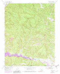
Editions of this 1954 Carracas Map
7 editions found
Other maps of this area

1889 · Largo
USGS Topo · 1:250,000

1895 · Largo
USGS Topo · 1:250,000

1924 · Pagosa Springs
USGS Topo · 1:125,000

1927 · Pagosa Springs
USGS Topo · 1:125,000

1945 · Durango
USGS Topo · 1:250,000

1953 · Durango
USGS Topo · 1:250,000

1954 · Durango
USGS Topo · 1:250,000

1954 · Allison
USGS Topo · 1:24,000

1954 · Carracas
USGS Topo · 1:24,000

1954 · Rosa
USGS Topo · 1:24,000