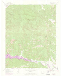
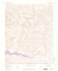
1954 Map of Carracas
USGS Topo · Published 1973About this map
The Southern Ute Indian Reservation dominates this borderland landscape where the high plateaus of Mesa Sandoval meet the river valleys of the San Juan basin. In the mid-1950s, the San Juan River and its confluence with the Piedra River defined the local geography, just before the landscape was transformed by the Navajo Reservoir. This edition captures the area at a critical juncture, with purple photorevisions from 1971 indicating the controlled inundation zones that would eventually submerge portions of the valley floor.
Find a feature on this map
22 named features on this map. Tap any name to fly to it.
Don’t see what you’re looking for? This feature index may not catch every label — zoom into the map to look around manually.
Map Details
Editions of this 1954 Carracas Map
7 editions found
Other maps of this area

1889 · Largo
USGS Topo · 1:250,000

1895 · Largo
USGS Topo · 1:250,000

1924 · Pagosa Springs
USGS Topo · 1:125,000

1927 · Pagosa Springs
USGS Topo · 1:125,000

1945 · Durango
USGS Topo · 1:250,000

1953 · Durango
USGS Topo · 1:250,000

1954 · Durango
USGS Topo · 1:250,000

1954 · Allison
USGS Topo · 1:24,000

1954 · Carracas
USGS Topo · 1:24,000

1954 · Rosa
USGS Topo · 1:24,000