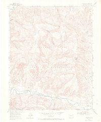
1954 Map of Carracas
USGS Topo · Published 1968About this map
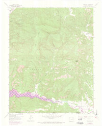
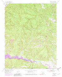
Southern Ute Indian Reservation lands dominate this mid-century topographic survey, where the rugged topography of the Colorado-New Mexico border meets the winding course of the Piedra River. The settlement of Carracas serves as a focal point in the southern portion of the sheet, situated along the tracks of the Denver and Rio Grande Western railroad. This transportation corridor follows the river valley, providing a vital link through the high mesas and deep drainages that characterize the region. The landscape is defined by massive features such as Mesa Sandoval and distinct landmarks like Cerro del Zopilote. Numerous seasonal drainages, including Sandoval Canyon and Arroyo Escondido, carve through the terrain, illustrating the complex erosion patterns of the San Juan Basin as it existed in the early 1950s.
Find a feature on this map
17 named features on this map. Tap any name to fly to it.
Don’t see what you’re looking for? This feature index may not catch every label — zoom into the map to look around manually.
Map Details
Editions of this 1954 Carracas Map
7 editions found
Other maps of this area

1889 · Largo
USGS Topo · 1:250,000

1895 · Largo
USGS Topo · 1:250,000

1924 · Pagosa Springs
USGS Topo · 1:125,000

1927 · Pagosa Springs
USGS Topo · 1:125,000

1945 · Durango
USGS Topo · 1:250,000

1953 · Durango
USGS Topo · 1:250,000

1954 · Durango
USGS Topo · 1:250,000

1954 · Allison
USGS Topo · 1:24,000

1954 · Carracas
USGS Topo · 1:24,000

1954 · Rosa
USGS Topo · 1:24,000