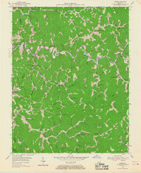
1954 Map of Carrie
USGS Topo · Published 1967About this map
Troublesome Creek winds through a deeply dissected landscape in the heart of the Kentucky coalfields, anchored by the town of Carrie. The mid-1950s map reveals a community structured around the narrow valleys and hollows, where dozens of small schools like the Ode Everage Sch and Dix Fork Sch served scattered settlements. The presence of Strip Mine workings in the hills reflects the region's industrial backbone, even as traditional landmarks like Maggie Memorial Ch and Little Rose Ch maintained the social fabric. Small hamlets such as Emmalena, Fisty, and Dwarf are linked by winding roads that follow the water gaps, including Ash Bee Tree Gap and Poplar Gap. This detailed survey captures a moment when rural education was highly localized, with many namesake institutions like the Head of Montgomery Sch still dotting the hillsides before later consolidation.
Find a feature on this map
78 named features on this map. Tap any name to fly to it.
Don’t see what you’re looking for? This feature index may not catch every label — zoom into the map to look around manually.
Map Details
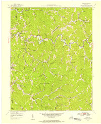
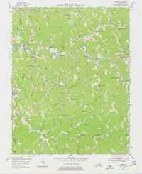
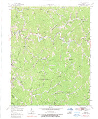
Editions of this 1954 Carrie Map
4 editions found
Other maps of this area

1890 · Whitesburg
USGS Topo · 1:125,000

1891 · Hazard
USGS Topo · 1:125,000

1892 · Whitesburg
USGS Topo · 1:125,000

1912 · Hindman
USGS Topo · 1:48,000

1913 · Oven Fork
USGS Topo · 1:48,000

1914 · Troublesome
USGS Topo · 1:62,500

1915 · Hindman
USGS Topo · 1:62,500

1915 · Whitesburg
USGS Topo · 1:62,500

1916 · Cornettsville
USGS Topo · 1:62,500

1954 · Noble
USGS Topo · 1:24,000