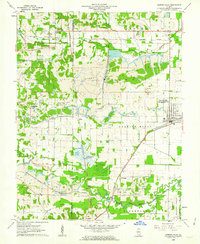
1961 Map of Carrier Mills
USGS Topo · Published 1962About this map
Industrial coal extraction and rural life define this section of southern Illinois, where the border between Williamson and Saline Counties is marked by an extensive landscape of Strip Mines. The New York Central railroad serves as the primary artery for the region, connecting the hub at Carrier Mills to smaller settlements like Delta and Newcastle. Extensive mining operations, including the Carmac Mine and Blue Bird Mine No 7, are deeply integrated into the terrain, often appearing alongside traditional landmarks like South America Ch and Providence Ch.
Find a feature on this map
39 named features on this map. Tap any name to fly to it.
Don’t see what you’re looking for? This feature index may not catch every label — zoom into the map to look around manually.
Map Details
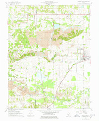
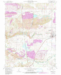
Editions of this 1961 Carrier Mills Map
3 editions found
Other maps of this area

1908 · Galatia
USGS Topo · 1:62,500

1909 · West Frankfort
USGS Topo · 1:62,500

1925 · Marion
USGS Topo · 1:62,500

1925 · Harrisburg
USGS Topo · 1:62,500

1938 · Galatia
USGS Topo · 1:62,500

1939 · Harrisburg
USGS Topo · 1:62,500

1940 · Marion
USGS Topo · 1:62,500

1941 · West Frankfort
USGS Topo · 1:62,500

1949 · Paducah
USGS Topo · 1:250,000

1950 · Paducah
USGS Topo · 1:250,000