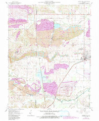
1961 Map of Carrier Mills
USGS Topo · Published 1990About this map
Strip mines dominate this landscape in southern Illinois, revealing a mid-century terrain heavily shaped by industrial extraction between Carrier Mills and Stonefort. The map captures a moment of transition where active excavations like the Sahara Mine No 6 and Carmac Mine exist alongside purple-tinted areas designated as reclaimed strip mines. This industrial footprint overlays an older rural fabric of family cemeteries and country churches, such as South America Ch and Jenny Ridge Cem.
Find a feature on this map
39 named features on this map. Tap any name to fly to it.
Don’t see what you’re looking for? This feature index may not catch every label — zoom into the map to look around manually.
Map Details
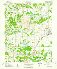
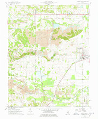
Editions of this 1961 Carrier Mills Map
3 editions found
Other maps of this area

1908 · Galatia
USGS Topo · 1:62,500

1909 · West Frankfort
USGS Topo · 1:62,500

1925 · Marion
USGS Topo · 1:62,500

1925 · Harrisburg
USGS Topo · 1:62,500

1938 · Galatia
USGS Topo · 1:62,500

1939 · Harrisburg
USGS Topo · 1:62,500

1940 · Marion
USGS Topo · 1:62,500

1941 · West Frankfort
USGS Topo · 1:62,500

1949 · Paducah
USGS Topo · 1:250,000

1950 · Paducah
USGS Topo · 1:250,000