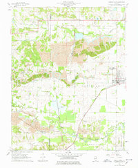
1961 Map of Carrier Mills
USGS Topo · Published 1978About this map
Strip mines and industrial activity dominate this section of Southern Illinois during the early 1960s, where the New York Central railroad network serves a series of active extraction sites like Sahara Mine No 7 and the Blue Bird Mine No 7. The landscape is a complex patchwork of excavations and natural water features such as Open Pond and Black Slough north of the South Fork Saline River. The primary settlement of Carrier Mills serves as a central hub, while smaller communities and landmarks provide vital genealogical context. Researchers can locate the Dykersburg Sch, the uniquely named South American Ch, and family burial grounds including Henshaw Cem and Trout Cem. The transition from the rugged mining operations in the north to the Shawnee National Forest in the southeast illustrates the region's diverse land use.
Find a feature on this map
46 named features on this map. Tap any name to fly to it.
Don’t see what you’re looking for? This feature index may not catch every label — zoom into the map to look around manually.
Map Details
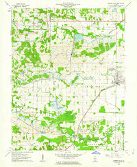
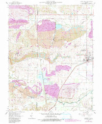
Editions of this 1961 Carrier Mills Map
3 editions found
Other maps of this area

1908 · Galatia
USGS Topo · 1:62,500

1909 · West Frankfort
USGS Topo · 1:62,500

1925 · Marion
USGS Topo · 1:62,500

1925 · Harrisburg
USGS Topo · 1:62,500

1938 · Galatia
USGS Topo · 1:62,500

1939 · Harrisburg
USGS Topo · 1:62,500

1940 · Marion
USGS Topo · 1:62,500

1941 · West Frankfort
USGS Topo · 1:62,500

1949 · Paducah
USGS Topo · 1:250,000

1950 · Paducah
USGS Topo · 1:250,000