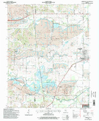
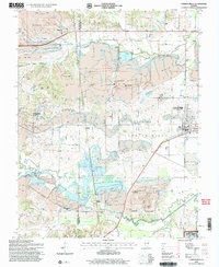
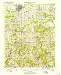
1996 Map of Carrier Mills
USGS Topo · Published 1998About this map
The extensive industrial landscape of southern Illinois is documented in this survey, where the Carrier Mills area is defined by massive surface mining operations and subsequent reclamation efforts. Large-scale Strip Mines, including the Sahara Mine No 5 and Sahara Mine No 7, dominate the central terrain, bordered by the Shawnee National Forest. The map captures a complex hydrological network where the South Fork Saline River and Bankston Fork wind through areas of Reclaimed Strip Mines, often managed by a system of Levees and catchments like Cottonwood Pond.
Find a feature on this map
42 named features on this map. Tap any name to fly to it.
Don’t see what you’re looking for? This feature index may not catch every label — zoom into the map to look around manually.
Map Details
Editions of this 1996 Carrier Mills Map
2 editions found
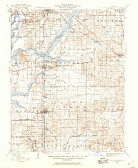
Other maps of this area
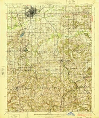
1908 · Galatia
USGS Topo · 1:62,500
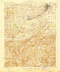
1909 · West Frankfort
USGS Topo · 1:62,500
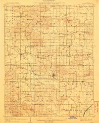
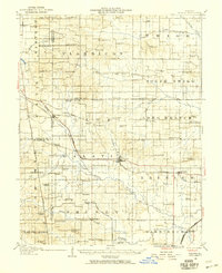
1925 · Marion
USGS Topo · 1:62,500
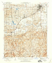
1925 · Harrisburg
USGS Topo · 1:62,500
1938 · Galatia
USGS Topo · 1:62,500
1939 · Harrisburg
USGS Topo · 1:62,500
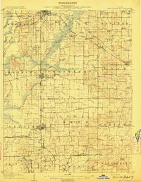
1940 · Marion
USGS Topo · 1:62,500
1941 · West Frankfort
USGS Topo · 1:62,500

1949 · Paducah
USGS Topo · 1:250,000

1950 · Paducah
USGS Topo · 1:250,000