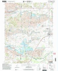
1996 Map of Carrier Mills
USGS Topo · Published 1998About this map
Strip mines and extensive reclaimed lands dominate this Southern Illinois landscape, revealing a region deeply shaped by the coal industry along the Bankston Fork and South Fork Saline River. The map documents the industrial footprint of the Sahara Mine No 7 and Sahara Mine No 5, including a prominent Conveyor system crossing the southern terrain. Amidst these large-scale operations, the rural social fabric of Saline Co is preserved through namesake institutions like Spring Grove Church, Providence Church, and the Dykersburg School. The area's genealogical record is well-represented by numerous family burial grounds, including the Jenny Ridge Cemetery and Henshaw Cemetery. While modern surface mining has altered much of the topography, original settlement patterns remain visible at Carrier Mills, Dykersburg, and Newcastle, as well as the northern fringes of the Shawnee National Forest.
Find a feature on this map
56 named features on this map. Tap any name to fly to it.
Don’t see what you’re looking for? This feature index may not catch every label — zoom into the map to look around manually.
Map Details
Editions of this 1996 Carrier Mills Map
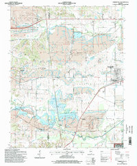
2 editions found
Other maps of this area

1908 · Galatia
USGS Topo · 1:62,500

1909 · West Frankfort
USGS Topo · 1:62,500

1925 · Marion
USGS Topo · 1:62,500

1925 · Harrisburg
USGS Topo · 1:62,500

1938 · Galatia
USGS Topo · 1:62,500

1939 · Harrisburg
USGS Topo · 1:62,500

1940 · Marion
USGS Topo · 1:62,500

1941 · West Frankfort
USGS Topo · 1:62,500

1949 · Paducah
USGS Topo · 1:250,000

1950 · Paducah
USGS Topo · 1:250,000