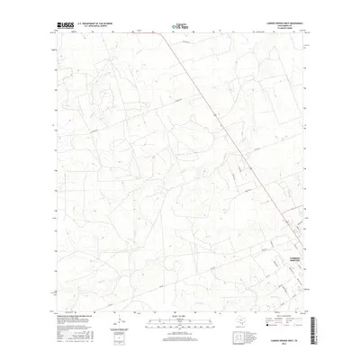
2016 Map of Carrizo Springs West
USGS Topo · Published 2016About this map
Carrizo Springs serves as the focal point for this Dimmit County landscape, appearing here as it was surveyed in the mid-2010s. The geography is defined by a series of intermittent drainage systems, most notably the meandering Peña Cr and Peñitas Cr, which carve through the brush country terrain. The map captures a sophisticated network of ranch-to-market and county roads that support the local agricultural and oil-and-gas economy. Key transportation corridors include FM 2644 and Ranch Rd 191, alongside family-named landmarks like Devilbiss Rd and Sanchez Ln. This detailed study provides an exact look at the rural infrastructure of the region, documenting the precise placement of ranch roads like Escondio Rd and localized lanes such as Toquigny Ln before subsequent land development changed the footprint of the South Texas brush.
Find a feature on this map
26 named features on this map. Tap any name to fly to it.
Don’t see what you’re looking for? This feature index may not catch every label — zoom into the map to look around manually.
Map Details
Editions of this 2016 Carrizo Springs West Map
This is the sole edition of this map. No revisions or reprints were ever made.
Other maps of this area

1929 · Cotulla
USGS Topo · 1:125,000

1939 · Carrizo Springs
USGS Topo · 1:62,500

1940 · Asherton
USGS Topo · 1:62,500

1940 · Cometa
USGS Topo · 1:62,500

1941 · Botella Creek
USGS Topo · 1:62,500

1953 · Crystal City
USGS Topo · 1:250,000

1955 · Crystal City
USGS Topo · 1:250,000

1957 · Botella Creek
USGS Topo · 1:62,500

1958 · Eagle Pass
USGS Topo · 1:250,000

1961 · Crystal City
USGS Topo · 1:250,000