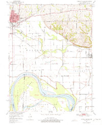
1951 Map of Carrollton East
USGS Topo · Published 1975About this map
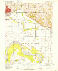
Carrollton serves as the focal point of this mid-century Missouri survey, where the Atchison Topeka and Santa Fe and Wabash railroads intersect north of the wide Missouri River bottomlands. The town's grid is anchored by the Courthouse, Post Office, and High School, while the surrounding countryside is dotted with a high density of one-room schoolhouses like Dietrich Sch, Mayview Sch, and Cary Sch. South of the bluffs, the landscape transitions to the alluvial plain of Wakenda Creek, leading toward the massive river bends surrounding Whites Island and Middleton. The map captures the tri-county border where Carroll, Lafayette, and Saline counties meet within the river's shifting channels. This era of the river basin's development is evident in the complex system of levees protecting agricultural tracts like Grand Pass and Eugene from the seasonal fluctuations of the river.
Find a feature on this map
39 named features on this map. Tap any name to fly to it.
Don’t see what you’re looking for? This feature index may not catch every label — zoom into the map to look around manually.
Map Details
Editions of this 1951 Carrollton East Map
4 editions found

Other maps of this area

1889 · Lexington
USGS Topo · 1:125,000

1890 · Marshall
USGS Topo · 1:125,000

1892 · Marshall
USGS Topo · 1:125,000

1901 · Marshall
USGS Topo · 1:125,000

1951 · Bosworth
USGS Topo · 1:24,000

1951 · Miami Station
USGS Topo · 1:24,000

1951 · Carrollton East
USGS Topo · 1:24,000
1951 · Standish
USGS Topo · 1:24,000

1951 · Waverly
USGS Topo · 1:24,000

1953 · Moberly
USGS Topo · 1:250,000