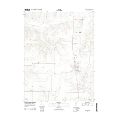
2015 Map of Carrollton
USGS Topo · Published 2015About this map
The county seat of Carrollton serves as the central hub of this Greene County landscape, where a grid of streets like N Main St and Church St meets the surrounding agricultural expanse. The topography is defined by the winding course of Apple Creek, which feeds into Horseshoe Lake in the northern reaches of the quadrangle. For those researching local lineages, numerous family and parish burial grounds are scattered throughout the countryside, including Saint Johns Catholic Cem near the town center and the more isolated Pinkerton Number 1 Cem to the north. Smaller settlements such as Berdan, Pegram, and Kaser are connected by a network of rural routes, including City Springs Rd and Route 2, illustrating the enduring spatial organization of this Illinois farming community.
Find a feature on this map
48 named features on this map. Tap any name to fly to it.
Don’t see what you’re looking for? This feature index may not catch every label — zoom into the map to look around manually.
Map Details
Editions of this 2015 Carrollton Map
This is the sole edition of this map. No revisions or reprints were ever made.
Other maps of this area

1924 · Roodhouse
USGS Topo · 1:62,500

1926 · Roodhouse
USGS Topo · 1:62,500

1930 · Pearl
USGS Topo · 1:62,500

1930 · Hardin
USGS Topo · 1:62,500

1930 · Jerseyville
USGS Topo · 1:62,500

1933 · Jerseyville
USGS Topo · 1:62,500

1934 · Hardin
USGS Topo · 1:62,500

1938 · Hardin
USGS Topo · 1:62,500

1948 · Quincy
USGS Topo · 1:250,000

1950 · Pearl
USGS Topo · 1:62,500