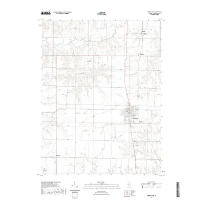
2021 Map of Carrollton
USGS Topo · Published 2021About this map
Carrollton serves as the central hub of this Illinois landscape, dominated by the formal grid surrounding the Greene County Courthouse. The town is the primary anchor for the surrounding agricultural region, with roads extending toward smaller communities such as Berdan to the northeast and Woody in the south. The terrain is defined by the winding course of Apple Creek and its associated Horseshoe Lake, which carve through the northern plains alongside other drainages like Hurricane Creek and Coates Creek.
Find a feature on this map
33 named features on this map. Tap any name to fly to it.
Don’t see what you’re looking for? This feature index may not catch every label — zoom into the map to look around manually.
Map Details
Editions of this 2021 Carrollton Map
This is the sole edition of this map. No revisions or reprints were ever made.
Other maps of this area

1924 · Roodhouse
USGS Topo · 1:62,500

1926 · Roodhouse
USGS Topo · 1:62,500

1930 · Pearl
USGS Topo · 1:62,500

1930 · Hardin
USGS Topo · 1:62,500

1930 · Jerseyville
USGS Topo · 1:62,500

1933 · Jerseyville
USGS Topo · 1:62,500

1934 · Hardin
USGS Topo · 1:62,500

1938 · Hardin
USGS Topo · 1:62,500

1948 · Quincy
USGS Topo · 1:250,000

1950 · Pearl
USGS Topo · 1:62,500