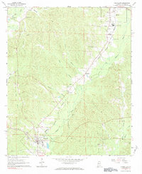
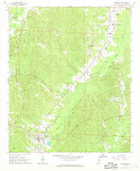
1967 Map of Carrollton
USGS Topo · Published 1984About this map
The county seat of Carrollton anchors this mid-century survey of Pickens County, where the Alabama and Tennessee Northern railroad corridor dictates the path of commerce through the lowlands of Lubbub Creek. Small, established communities like Reform and Stansel appear alongside an intricate network of family landmarks and rural institutions, including the New Providence and Union Hill churches. The landscape is deeply carved by drainage systems like Coal Fire Creek and Anna Branch, reflecting the agricultural and timber-driven economy of West Alabama. For genealogists, the map is particularly valuable for its precise location of ancestral burial grounds such as Cockrell and Bethel Cem, while markers like Beards Mill and several gravel pits reveal the localized industries that sustained these communities before late-twentieth-century shifts.
Find a feature on this map
32 named features on this map. Tap any name to fly to it.
Don’t see what you’re looking for? This feature index may not catch every label — zoom into the map to look around manually.
Map Details
Editions of this 1967 Carrollton Map
3 editions found
Other maps of this area

1953 · Birmingham
USGS Topo · 1:250,000

1953 · West Point
USGS Topo · 1:250,000

1956 · Birmingham
USGS Topo · 1:250,000

1957 · Birmingham
USGS Topo · 1:250,000

1958 · West Point
USGS Topo · 1:250,000

1963 · West Point
USGS Topo · 1:250,000

1966 · Ethelsville
USGS Topo · 1:24,000

1966 · Reform SW
USGS Topo · 1:24,000

1967 · Carrollton
USGS Topo · 1:24,000

1967 · Gordo
USGS Topo · 1:24,000