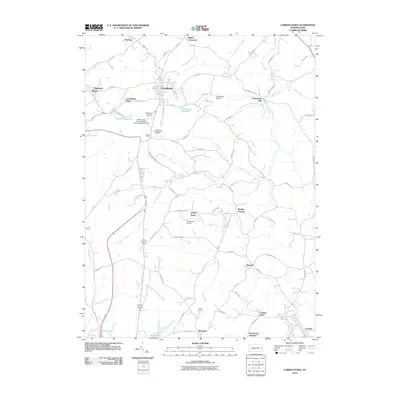
2010 Map of Carrolltown
USGS Topo · Published 2010About this map
Carrolltown serves as the central hub of this northern Cambria County landscape, situated atop the prominent Dividing Ridge. The area's geography is defined by its role as a drainage divide, with Little Chest Creek flowing north toward the Susquehanna basin while the South Branch Blacklick Creek drains toward the Ohio River system. This 2010 survey details a region shaped by small-scale aviation and local industry, featuring several private landing strips such as Morchesky Airport, Carrolltown Airport, and Strittmatter Airport.
Find a feature on this map
88 named features on this map. Tap any name to fly to it.
Don’t see what you’re looking for? This feature index may not catch every label — zoom into the map to look around manually.
Map Details
Editions of this 2010 Carrolltown Map
This is the sole edition of this map. No revisions or reprints were ever made.
Other maps of this area

1902 · Ebensburg
USGS Topo · 1:62,500

1902 · Patton
USGS Topo · 1:62,500

1902 · Barnesboro
USGS Topo · 1:62,500

1904 · Barnesboro
USGS Topo · 1:62,500

1904 · Patton
USGS Topo · 1:62,500

1904 · Ebensburg
USGS Topo · 1:62,500

1904 · Johnstown
USGS Topo · 1:62,500

1907 · Johnstown
USGS Topo · 1:62,500

1943 · Punxsutawney
USGS Topo · 1:125,000

1953 · Pittsburgh
USGS Topo · 1:250,000