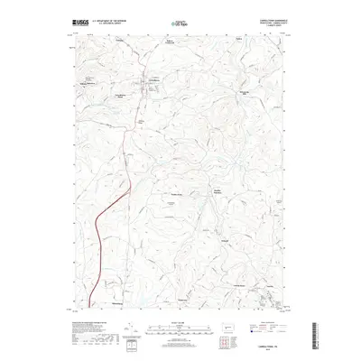
2019 Map of Carrolltown
USGS Topo · Published 2019About this map
Carrolltown serves as a central hub on this Cambria County landscape, where the high ground of Dividing Ridge separates the headwaters of several significant regional waterways. The map illustrates a dense network of local settlements and rural crossroads, including Bradley Junction, Bakerton, and Loretto. This area is particularly noteworthy for its concentration of Catholic history and institutional presence, anchored by Saint Francis University and the Original Sisters of Mercy Cem.
Find a feature on this map
136 named features on this map. Tap any name to fly to it.
Don’t see what you’re looking for? This feature index may not catch every label — zoom into the map to look around manually.
Map Details
Editions of this 2019 Carrolltown Map
This is the sole edition of this map. No revisions or reprints were ever made.
Other maps of this area

1902 · Ebensburg
USGS Topo · 1:62,500

1902 · Patton
USGS Topo · 1:62,500

1902 · Barnesboro
USGS Topo · 1:62,500

1904 · Barnesboro
USGS Topo · 1:62,500

1904 · Patton
USGS Topo · 1:62,500

1904 · Ebensburg
USGS Topo · 1:62,500

1904 · Johnstown
USGS Topo · 1:62,500

1907 · Johnstown
USGS Topo · 1:62,500

1943 · Punxsutawney
USGS Topo · 1:125,000

1953 · Pittsburgh
USGS Topo · 1:250,000