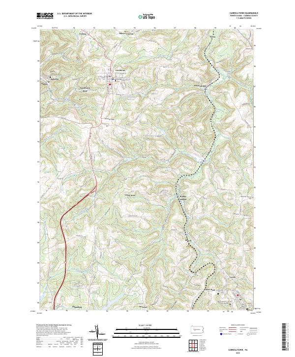
2023 Map of Carrolltown
USGS Topo · Published 2023About this map
Carrolltown and its surrounding Cambria County countryside are defined by a high-elevation landscape of ridge-top settlements and winding stream valleys. This 2023 survey illustrates the dense religious and educational heritage of the region, anchored by Saint Francis University and several significant burial grounds, including the Original Sisters of Mercy Cem and the Saint Francis University Franciscan Friar Cem. The terrain is deeply dissected by watercourses like Chest Creek and the West Branch Susquehanna River, with early industrial sites like Eckenrode Mill and transportation hubs such as Strohmier Airport marking the transition between rural farmland and established villages. Smaller crossroads and mining-era communities like Bakerton, Elmora, and Bradley Junction remain clearly delineated, showing a settlement pattern that follows the high ground of the Allegheny Plateau.
Find a feature on this map
135 named features on this map. Tap any name to fly to it.
Don’t see what you’re looking for? This feature index may not catch every label — zoom into the map to look around manually.
Map Details
Editions of this 2023 Carrolltown Map
This is the sole edition of this map. No revisions or reprints were ever made.
Other maps of this area

1902 · Ebensburg
USGS Topo · 1:62,500

1902 · Patton
USGS Topo · 1:62,500

1902 · Barnesboro
USGS Topo · 1:62,500

1904 · Barnesboro
USGS Topo · 1:62,500

1904 · Patton
USGS Topo · 1:62,500

1904 · Ebensburg
USGS Topo · 1:62,500

1904 · Johnstown
USGS Topo · 1:62,500

1907 · Johnstown
USGS Topo · 1:62,500

1943 · Punxsutawney
USGS Topo · 1:125,000

1953 · Pittsburgh
USGS Topo · 1:250,000