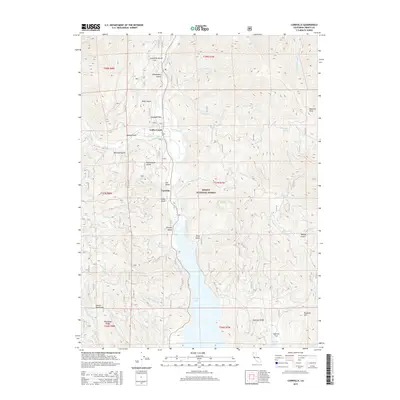
2015 Map of Carrville
USGS Topo · Published 2015About this map
Shasta National Forest encompasses the high country of the Salmon Mountains, where deep drainage channels like Snowslide Gulch and Chinquapin Gulch carve into the steep terrain. The central corridor is defined by the Trinity River, which flows south into the expansive waters of Trinity Lake. This landscape, documented in 2015, shows a cluster of settlements including Coffee Creek and the historic site of Carrville situated along the river valley. The area's mining history is whispered through local names like Bonanza King and Powerhouse Gulch. Away from the main valley, numerous smaller tributaries such as Buckeye Cr and Scorpion Cr feed the watershed. Significant landforms like Rancheria Ridge and Plummer Hill dominate the southern portion of the quadrangle, offering a detailed perspective on the geography of northern Trinity County.
Find a feature on this map
48 named features on this map. Tap any name to fly to it.
Don’t see what you’re looking for? This feature index may not catch every label — zoom into the map to look around manually.
Map Details
Editions of this 2015 Carrville Map
This is the sole edition of this map. No revisions or reprints were ever made.
Other maps of this area

1886 · Shasta
USGS Topo · 1:250,000

1890 · Red Bluff
USGS Topo · 1:250,000

1894 · Red Bluff
USGS Topo · 1:250,000

1894 · Shasta
USGS Topo · 1:250,000

1913 · Weaverville
USGS Topo · 1:125,000

1923 · Sawyers Bar
USGS Topo · 1:125,000

1931 · Etna
USGS Topo · 1:96,000

1934 · Etna
USGS Topo · 1:125,000

1948 · Weed
USGS Topo · 1:250,000

1950 · Weed
USGS Topo · 1:250,000