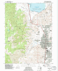
1994 Map of Carson City
USGS Topo · Published 1994About this map
Carson City sits at the base of the Carson Range in this mid-1990s depiction of the Nevada state capital. The city's grid is dense with local landmarks, including the Nevada State Railroad Museum and the Lone Mtn Cemetery. North of the city center, the landscape transitions toward Washoe Valley and Washoe Lake State Park, where an Old Railroad Grade and Virginia & Truckee RR tracks trace the historic transportation corridors connecting these valleys.
Find a feature on this map
72 named features on this map. Tap any name to fly to it.
Don’t see what you’re looking for? This feature index may not catch every label — zoom into the map to look around manually.
Map Details
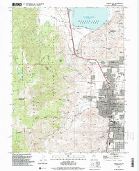
Editions of this 1994 Carson City Map
2 editions found
Other maps of this area

1891 · Carson
USGS Topo · 1:125,000

1893 · Carson
USGS Topo · 1:125,000

1950 · Virginia City
USGS Topo · 1:62,500

1950 · Mt. Rose
USGS Topo · 1:62,500

1952 · Mt. Rose
USGS Topo · 1:62,500

1952 · Virginia City
USGS Topo · 1:62,500

1955 · Marlette Lake
USGS Topo · 1:24,000

1955 · Glenbrook
USGS Topo · 1:24,000

1956 · Dayton
USGS Topo · 1:62,500

1956 · Carson City
USGS Topo · 1:62,500