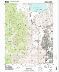
1994 Map of Carson City
USGS Topo · Published 1994About this map
Carson City anchors the eastern edge of this 1994 survey, revealing a detailed urban grid that borders the sharp rise of the Lake Tahoe Range. The city's northern expansion is marked by institutions like Western Nevada Community College and the Eagle Valley Ranch Childrens Foundation, while the southern end features the Nevada State Railroad Museum. To the west, the landscape transitions into the Toiyabe National Forest, where deep incisions like Ash Canyon and North Kings Canyon lead toward high peaks and the Hobart Cr Reservoir.
Find a feature on this map
66 named features on this map. Tap any name to fly to it.
Don’t see what you’re looking for? This feature index may not catch every label — zoom into the map to look around manually.
Map Details
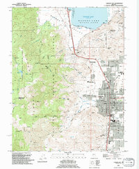
Editions of this 1994 Carson City Map
2 editions found
Other maps of this area

1891 · Carson
USGS Topo · 1:125,000

1893 · Carson
USGS Topo · 1:125,000

1950 · Virginia City
USGS Topo · 1:62,500

1950 · Mt. Rose
USGS Topo · 1:62,500

1952 · Mt. Rose
USGS Topo · 1:62,500

1952 · Virginia City
USGS Topo · 1:62,500

1955 · Marlette Lake
USGS Topo · 1:24,000

1955 · Glenbrook
USGS Topo · 1:24,000

1956 · Dayton
USGS Topo · 1:62,500

1956 · Carson City
USGS Topo · 1:62,500