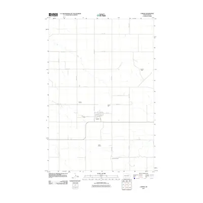
2011 Map of Carson
USGS Topo · Published 2011About this map
Carson serves as the central hub of this prairie landscape, where a grid of residential streets and local thoroughfares like S Main St and Idaho St meet. The town's layout reflects its development alongside the corridor of Railroad Ave W, while the surrounding countryside is defined by notable topographic landmarks including Carson Hill and the Circle Buttes to the south. Two significant burial grounds, Emmans Cemetery to the northwest and Community Cemetery to the southeast, provide important touchstones for local genealogical research. The terrain beyond the town limits is sparsely settled, characterized by a vast network of section-line roads such as 87th St SW and 55th Ave SW that traverse the rolling hills and creek beds of the North Dakota plains, including the prominent rise of Cookout Butte in the northeast.
Find a feature on this map
26 named features on this map. Tap any name to fly to it.
Don’t see what you’re looking for? This feature index may not catch every label — zoom into the map to look around manually.
Map Details
Editions of this 2011 Carson Map
This is the sole edition of this map. No revisions or reprints were ever made.
Other maps of this area

1954 · Bismarck
USGS Topo · 1:250,000

1958 · Bismarck
USGS Topo · 1:250,000

1972 · Carson SE
USGS Topo · 1:24,000

1972 · Leith
USGS Topo · 1:24,000

1980 · Otter Creek West
USGS Topo · 1:24,000

1980 · Brisbane
USGS Topo · 1:24,000

1980 · Crown Butte Creek SE
USGS Topo · 1:24,000

1980 · Lark
USGS Topo · 1:24,000

1980 · Heil
USGS Topo · 1:24,000

1980 · Crown Butte Creek SW
USGS Topo · 1:24,000