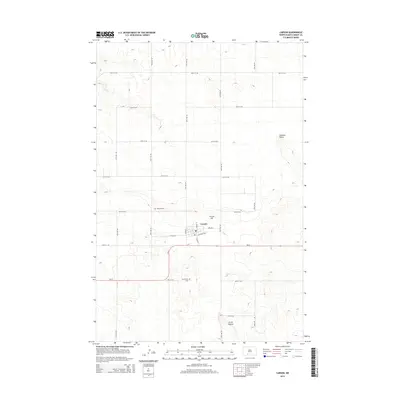
2014 Map of Carson
USGS Topo · Published 2014About this map
Carson serves as the central hub of this Grant County landscape, situated where S Main St meets the transit corridor of Railroad Ave. The settlement's grid is bounded by a high-elevation horizon, most notably at Carson Hill and the distinctive Circle Buttes to the south. This 2014 survey reveals a transition in the local infrastructure, with the primary east-west thoroughfare ND-21 bypassing the town center to the south. The surrounding prairie is methodically divided by section-line roads such as 57th Ave SW and 68th St SW, which lead to vital community sites including Emmans Cem and Community Cem. This geometric road network reflects the enduring rural township structure of the Great Plains, even as topographical features like Cookout Butte interrupt the strictly surveyed lines.
Find a feature on this map
26 named features on this map. Tap any name to fly to it.
Don’t see what you’re looking for? This feature index may not catch every label — zoom into the map to look around manually.
Map Details
Editions of this 2014 Carson Map
This is the sole edition of this map. No revisions or reprints were ever made.
Other maps of this area

1954 · Bismarck
USGS Topo · 1:250,000

1958 · Bismarck
USGS Topo · 1:250,000

1972 · Carson SE
USGS Topo · 1:24,000

1972 · Leith
USGS Topo · 1:24,000

1980 · Otter Creek West
USGS Topo · 1:24,000

1980 · Brisbane
USGS Topo · 1:24,000

1980 · Crown Butte Creek SE
USGS Topo · 1:24,000

1980 · Lark
USGS Topo · 1:24,000

1980 · Heil
USGS Topo · 1:24,000

1980 · Crown Butte Creek SW
USGS Topo · 1:24,000