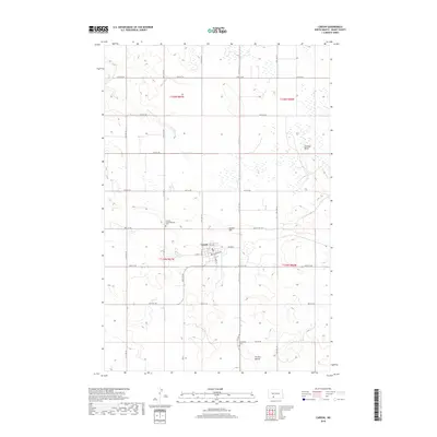
2018 Map of Carson
USGS Topo · Published 2018About this map
Carson serves as the central hub of this Grant County landscape, where the town's street grid is anchored by S Main St and Railroad Ave. The surrounding plains are marked by significant topographic rises and buttes, most notably Carson Hill situated just northeast of the town center. To the south, Circle Buttes dominates the lower quadrant, while Cookout Butte stands to the east, providing clear landmarks across the prairie.
Find a feature on this map
25 named features on this map. Tap any name to fly to it.
Don’t see what you’re looking for? This feature index may not catch every label — zoom into the map to look around manually.
Map Details
Editions of this 2018 Carson Map
This is the sole edition of this map. No revisions or reprints were ever made.
Other maps of this area

1954 · Bismarck
USGS Topo · 1:250,000

1958 · Bismarck
USGS Topo · 1:250,000

1972 · Carson SE
USGS Topo · 1:24,000

1972 · Leith
USGS Topo · 1:24,000

1980 · Otter Creek West
USGS Topo · 1:24,000

1980 · Brisbane
USGS Topo · 1:24,000

1980 · Crown Butte Creek SE
USGS Topo · 1:24,000

1980 · Lark
USGS Topo · 1:24,000

1980 · Heil
USGS Topo · 1:24,000

1980 · Crown Butte Creek SW
USGS Topo · 1:24,000