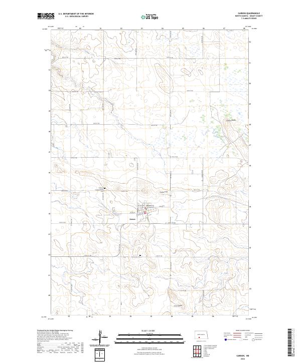
2024 Map of Carson
USGS Topo · Published 2024About this map
Carson serves as the focal point of this Grant County landscape, characterized by its grid of residential streets and the prominent Grant County Courthouse. The town sits at the intersection of a vast section-line road network, where routes like Hwy 2 and S Main St meet. Outside the town limits, the terrain is defined by isolated elevations such as Carson Hill, Cookout Butte, and the Circle Buttes to the south. These landmarks rise above a landscape dotted with wetlands and small water bodies. Genealogists and local historians will find the Emmaus Congregational Cem north of town and the Community Cem to the south particularly valuable for tracing local heritage. The presence of Railroad Ave within the town plan reflects the historical importance of the rail corridor in shaping the development of this prairie community.
Find a feature on this map
32 named features on this map. Tap any name to fly to it.
Don’t see what you’re looking for? This feature index may not catch every label — zoom into the map to look around manually.
Map Details
Editions of this 2024 Carson Map
This is the sole edition of this map. No revisions or reprints were ever made.
Other maps of this area

1954 · Bismarck
USGS Topo · 1:250,000

1958 · Bismarck
USGS Topo · 1:250,000

1972 · Carson SE
USGS Topo · 1:24,000

1972 · Leith
USGS Topo · 1:24,000

1980 · Otter Creek West
USGS Topo · 1:24,000

1980 · Brisbane
USGS Topo · 1:24,000

1980 · Crown Butte Creek SE
USGS Topo · 1:24,000

1980 · Lark
USGS Topo · 1:24,000

1980 · Heil
USGS Topo · 1:24,000

1980 · Crown Butte Creek SW
USGS Topo · 1:24,000