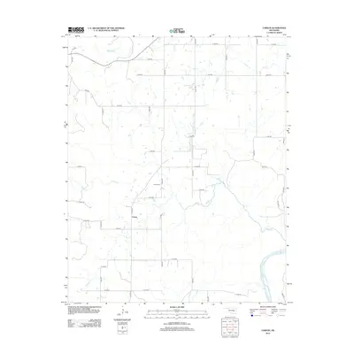
2012 Map of Carson
USGS Topo · Published 2012About this map
Carson remains the central point of interest in this rural Hughes County landscape, where the local community is anchored by the Carson Cem. The terrain is defined by a dense network of drainage systems feeding into the Canadian River, which cuts across the southeastern corner of the quadrangle. Significant waterways such as Middle Creek, Turkey Creek, and Fish Creek carve through the countryside, dictating the layout of the local road grid. The map reveals a strictly rural development pattern, where section-line roads like E1230 Road and N S 389 Road provide access to remote farmsteads and agricultural parcels. This area reflects a quiet, dispersed settlement character late into the twentieth century, largely untouched by major highway expansion or urban sprawl.
Find a feature on this map
43 named features on this map. Tap any name to fly to it.
Don’t see what you’re looking for? This feature index may not catch every label — zoom into the map to look around manually.
Map Details
Editions of this 2012 Carson Map
This is the sole edition of this map. No revisions or reprints were ever made.
Other maps of this area

1900 · Canadian
USGS Topo · 1:125,000

1900 · Wewoka
USGS Topo · 1:125,000

1946 · Fort Smith
USGS Topo · 1:250,000

1954 · Oklahoma City
USGS Topo · 1:250,000

1957 · Oklahoma City
USGS Topo · 1:250,000

1962 · Henryetta SW
USGS Topo · 1:24,000

1963 · Oklahoma City
USGS Topo · 1:250,000

1965 · Fort Smith
USGS Topo · 1:250,000

1967 · Fort Smith
USGS Topo · 1:250,000

1967 · Weleetka
USGS Topo · 1:24,000