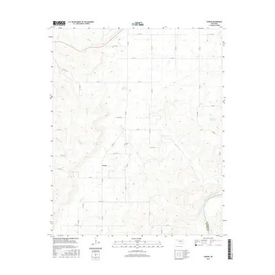
2016 Map of Carson
USGS Topo · Published 2016About this map
Carson sits at the center of this rural Oklahoma landscape, serving as a quiet focal point in Hughes County. The settlement pattern is defined by a rectangular grid of local roads, such as N 390 Rd and E 128 Rd, which navigate the various stream valleys and ridges. Water is a dominant feature throughout the quadrangle, with the Canadian River cutting through the southeastern corner, marking the boundary with Pittsburg County. Numerous smaller waterways, including Middle Creek and Turkey Cr, drain the region into larger basins. Local landmarks like the Carson Cem and the Ben Huffman Reservoir offer specific points of interest for genealogists and local historians tracking family footprints in this part of the state. The presence of the 063035 Reservoir and other small catchments illustrates the managed water resources typical of this agricultural and ranching terrain.
Find a feature on this map
38 named features on this map. Tap any name to fly to it.
Don’t see what you’re looking for? This feature index may not catch every label — zoom into the map to look around manually.
Map Details
Editions of this 2016 Carson Map
This is the sole edition of this map. No revisions or reprints were ever made.
Other maps of this area

1900 · Canadian
USGS Topo · 1:125,000

1900 · Wewoka
USGS Topo · 1:125,000

1946 · Fort Smith
USGS Topo · 1:250,000

1954 · Oklahoma City
USGS Topo · 1:250,000

1957 · Oklahoma City
USGS Topo · 1:250,000

1962 · Henryetta SW
USGS Topo · 1:24,000

1963 · Oklahoma City
USGS Topo · 1:250,000

1965 · Fort Smith
USGS Topo · 1:250,000

1967 · Fort Smith
USGS Topo · 1:250,000

1967 · Weleetka
USGS Topo · 1:24,000