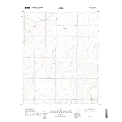
2018 Map of Carson
USGS Topo · Published 2018About this map
Carson serves as the central settlement in this rural Oklahoma landscape, situated at the boundary of Hughes and Pittsburg counties. The terrain is defined by a dense network of drainages feeding into the Canadian River, which flows through the southeastern corner of the quadrangle. Several distinct watercourses, including Stidham Cr, Fish Cr, and the branching Middle Creek, carve through the rolling elevation.
Find a feature on this map
42 named features on this map. Tap any name to fly to it.
Don’t see what you’re looking for? This feature index may not catch every label — zoom into the map to look around manually.
Map Details
Editions of this 2018 Carson Map
This is the sole edition of this map. No revisions or reprints were ever made.
Other maps of this area

1900 · Canadian
USGS Topo · 1:125,000

1900 · Wewoka
USGS Topo · 1:125,000

1946 · Fort Smith
USGS Topo · 1:250,000

1954 · Oklahoma City
USGS Topo · 1:250,000

1957 · Oklahoma City
USGS Topo · 1:250,000

1962 · Henryetta SW
USGS Topo · 1:24,000

1963 · Oklahoma City
USGS Topo · 1:250,000

1965 · Fort Smith
USGS Topo · 1:250,000

1967 · Fort Smith
USGS Topo · 1:250,000

1967 · Weleetka
USGS Topo · 1:24,000