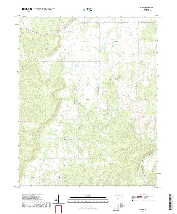
2022 Map of Carson
USGS Topo · Published 2022About this map
Carson serves as the primary focal point of this Hughes County landscape, situated amid a complex network of waterways in central Oklahoma. The area is defined by the winding course of the Canadian River as it forms the southern boundary near the Pittsburg County line. Local family and community history is anchored by the Carson Cem, while the surrounding terrain is deeply dissected by numerous drainage systems including Stidham Cr, Fish Cr, and the branching arms of Middle Creek. This modern survey reflects the rural character of the region, where a dense grid of section line roads like N S 391 RD and E W 122 RD provides access to scattered homesteads and agricultural tracts. The presence of the 063035 Reservoir and various creeks like Turkey Cr highlights the importance of water management in this interior Oklahoma landscape.
Find a feature on this map
42 named features on this map. Tap any name to fly to it.
Don’t see what you’re looking for? This feature index may not catch every label — zoom into the map to look around manually.
Map Details
Editions of this 2022 Carson Map
This is the sole edition of this map. No revisions or reprints were ever made.
Other maps of this area

1900 · Canadian
USGS Topo · 1:125,000

1900 · Wewoka
USGS Topo · 1:125,000

1946 · Fort Smith
USGS Topo · 1:250,000

1954 · Oklahoma City
USGS Topo · 1:250,000

1957 · Oklahoma City
USGS Topo · 1:250,000

1962 · Henryetta SW
USGS Topo · 1:24,000

1963 · Oklahoma City
USGS Topo · 1:250,000

1965 · Fort Smith
USGS Topo · 1:250,000

1967 · Fort Smith
USGS Topo · 1:250,000

1967 · Weleetka
USGS Topo · 1:24,000