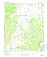
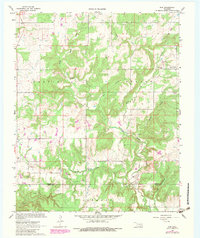
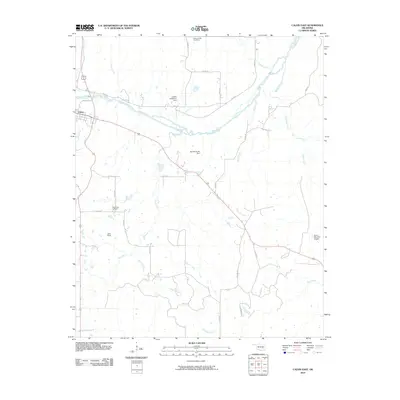
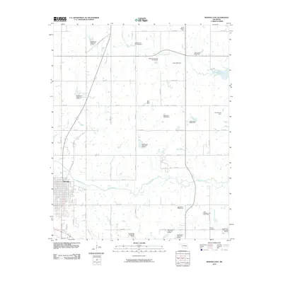
1971 Map of Carson
USGS Topo · Published 1991About this map
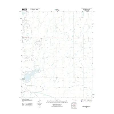
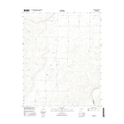
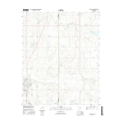
Carson sits at the heart of this Hughes County landscape, where the Texas and Pacific railroad line cuts through the hills. The terrain is defined by the industrial activity of the Dustin Field and Barnard Field, marked by numerous Oil Wells, Gas Wells, and Drill Holes. These energy resources are supported by a Pumping Station and a network of pipelines that traverse the ridges between Turkey Creek and Middle Creek.
Find a feature on this map
15 named features on this map. Tap any name to fly to it.
Don’t see what you’re looking for? This feature index may not catch every label — zoom into the map to look around manually.
Map Details
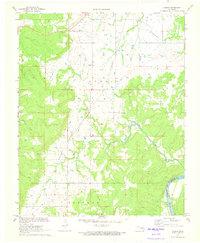
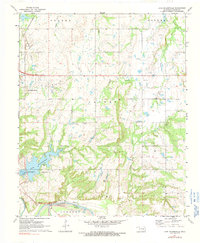
Editions of this 1971 Carson Map
2 editions found
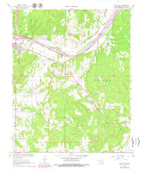
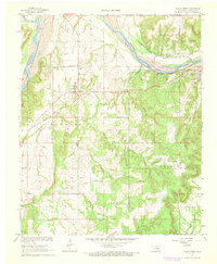
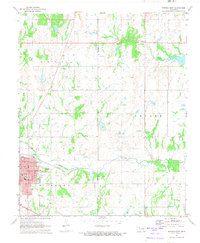
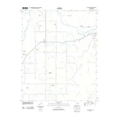
Historical Maps of Carson Through Time
36 maps found
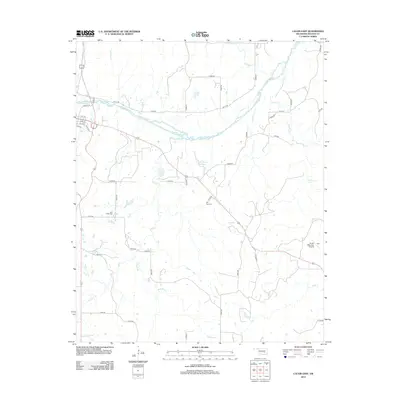
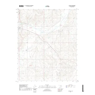
1967 Calvin East
Hughes County, OK
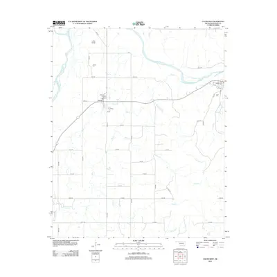
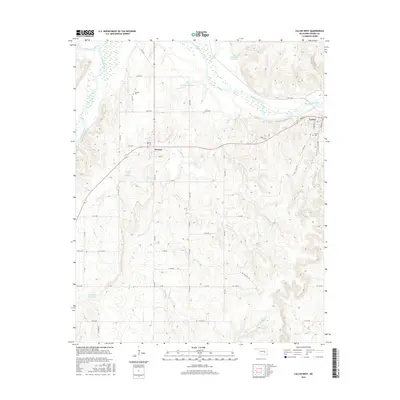
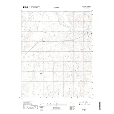
1967 Calvin West
Hughes County, OK
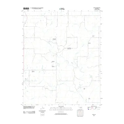
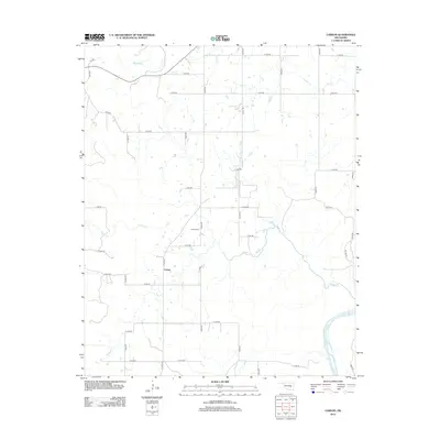
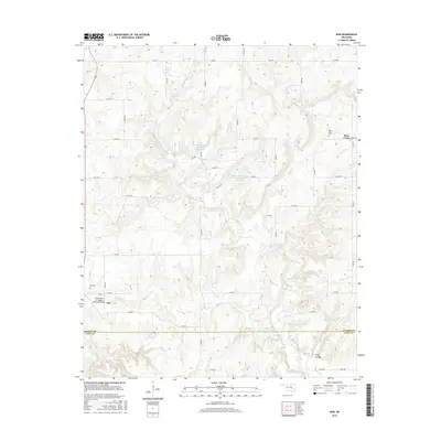
1967 Non
Hughes County, OK
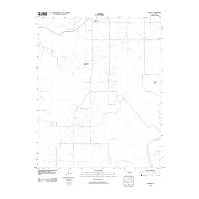
1971 Carson
Hughes County, OK
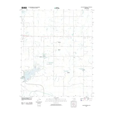
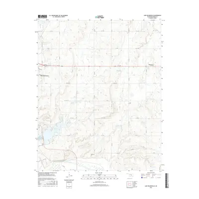
1972 Lake Holdenville
Hughes County, OK
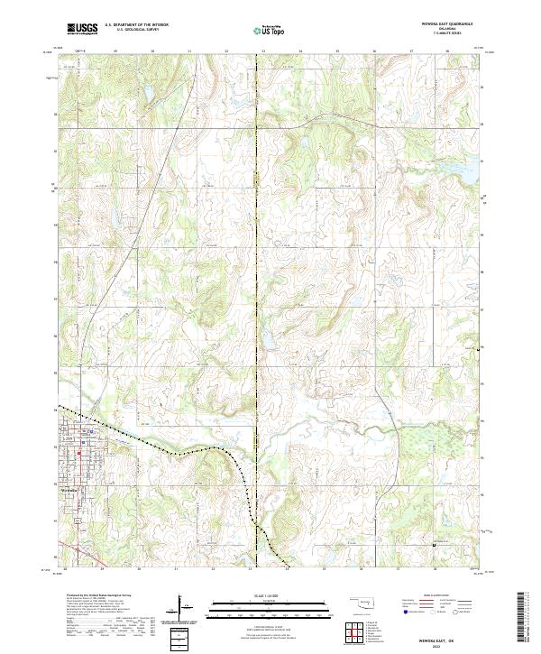
1972 Wewoka East
Hughes County, OK
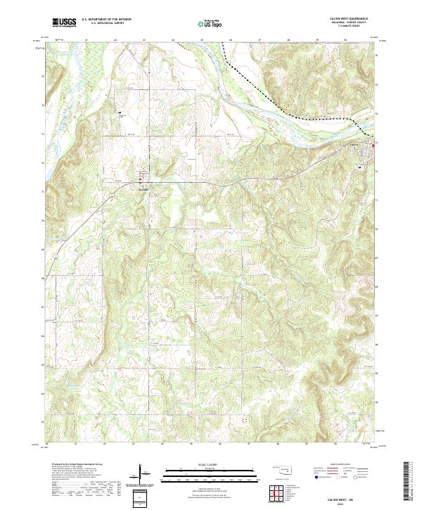
2009 Calvin West
Hughes County, OK
2010 Calvin East
Hughes County, OK
2010 Carson
Hughes County, OK
2010 Lake Holdenville
Hughes County, OK
2010 Non
Hughes County, OK
2010 Wewoka East
Hughes County, OK
2012 Calvin East
Hughes County, OK
2012 Calvin West
Hughes County, OK
2012 Carson
Hughes County, OK
2012 Lake Holdenville
Hughes County, OK
2012 Wewoka East
Hughes County, OK
2013 Non
Hughes County, OK
2016 Calvin East
Hughes County, OK
2016 Calvin West
Hughes County, OK
2016 Carson
Hughes County, OK
2016 Lake Holdenville
Hughes County, OK
2016 Non
Hughes County, OK
2016 Wewoka East
Hughes County, OK
2018 Calvin East
Hughes County, OK
2018 Calvin West
Hughes County, OK
2018 Carson
Hughes County, OK
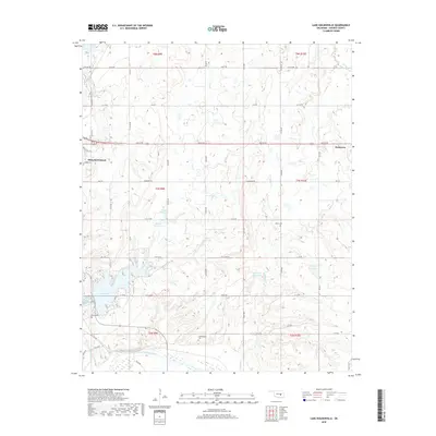
2018 Lake Holdenville
Hughes County, OK
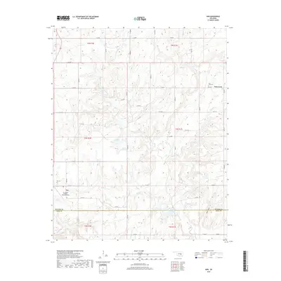
2018 Non
Hughes County, OK
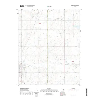
2018 Wewoka East
Hughes County, OK
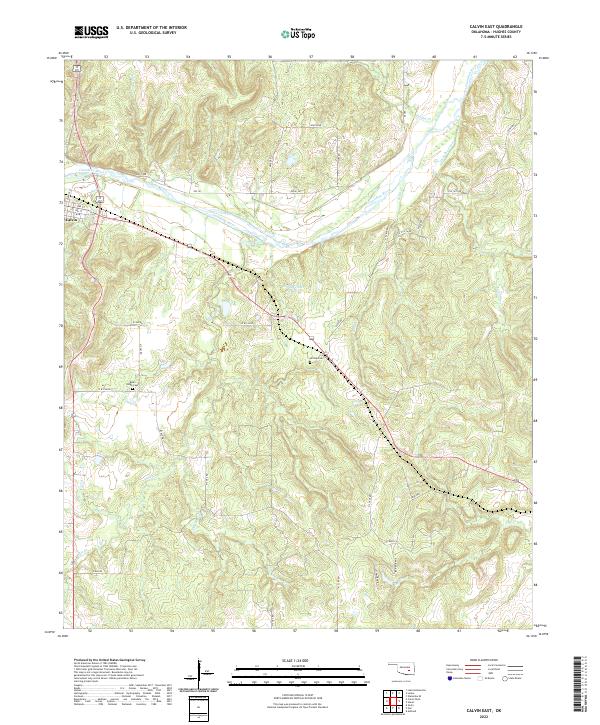
2022 Calvin East
Hughes County, OK
2022 Calvin West
Hughes County, OK
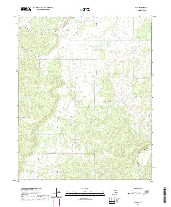
2022 Carson
Hughes County, OK
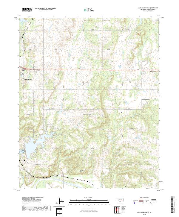
2022 Lake Holdenville
Hughes County, OK
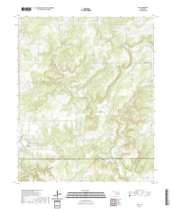
2022 Non
Hughes County, OK
2022 Wewoka East
Hughes County, OK