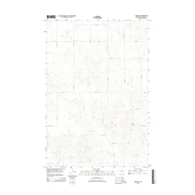
2014 Map of Carson SE
USGS Topo · Published 2014About this map
Saint Vincent Cem, located near the intersection of 78th St SW and 53rd Ave SW, serves as a primary historical landmark in this section of Grant County. The landscape is defined by the winding course of Boxelder Cr, which meanders across the central and southern portions of the map before approaching the Cannonball River at the southern boundary. This 2014 survey reveals a persistent section-line road network, where routes like 72nd St SW and 57th Ave SW create a precise grid over the drainage basins of Louise Cr and other small tributaries. The spacing of the roads and the concentration of features around the creek valleys reflect a rural settlement pattern deeply tied to the natural hydrology of the North Dakota plains.
Find a feature on this map
17 named features on this map. Tap any name to fly to it.
Don’t see what you’re looking for? This feature index may not catch every label — zoom into the map to look around manually.
Map Details
Editions of this 2014 Carson SE Map
This is the sole edition of this map. No revisions or reprints were ever made.
Other maps of this area

1954 · Bismarck
USGS Topo · 1:250,000

1958 · Bismarck
USGS Topo · 1:250,000

1972 · Carson SE
USGS Topo · 1:24,000

1972 · Leith
USGS Topo · 1:24,000

1972 · Paradise Flats
USGS Topo · 1:24,000

1972 · Wheeler Hills
USGS Topo · 1:24,000

1980 · Brisbane
USGS Topo · 1:24,000

1980 · Bell Coulee West
USGS Topo · 1:24,000

1980 · Lark
USGS Topo · 1:24,000

1980 · Heil
USGS Topo · 1:24,000