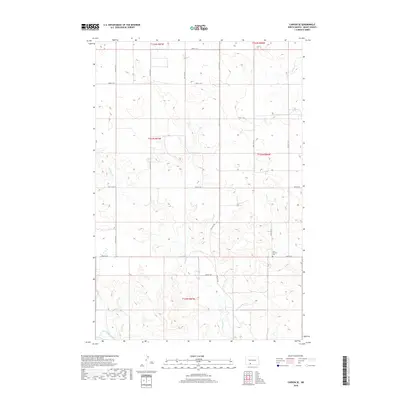
2018 Map of Carson SE
USGS Topo · Published 2018About this map
The Saint Vincent Cem serves as a lone landmark in the southeastern corner of this Grant County landscape, providing a quiet point of reference for researchers of local family lineages. The terrain is defined by the winding course of the Cannonball River at its southwestern edge and the drainage patterns of Boxelder Cr and Louse Cr. Established section lines and a grid of rural roads, including 72nd St SW and 79th St SW, provide structure to the open prairie. This 2018 survey illustrates the persistent township and range divisions of North Dakota, where large-scale ranching and agriculture have shaped the land use patterns for over a century.
Find a feature on this map
15 named features on this map. Tap any name to fly to it.
Don’t see what you’re looking for? This feature index may not catch every label — zoom into the map to look around manually.
Map Details
Editions of this 2018 Carson SE Map
This is the sole edition of this map. No revisions or reprints were ever made.
Other maps of this area

1954 · Bismarck
USGS Topo · 1:250,000

1958 · Bismarck
USGS Topo · 1:250,000

1972 · Carson SE
USGS Topo · 1:24,000

1972 · Leith
USGS Topo · 1:24,000

1972 · Paradise Flats
USGS Topo · 1:24,000

1972 · Wheeler Hills
USGS Topo · 1:24,000

1980 · Brisbane
USGS Topo · 1:24,000

1980 · Bell Coulee West
USGS Topo · 1:24,000

1980 · Lark
USGS Topo · 1:24,000

1980 · Heil
USGS Topo · 1:24,000