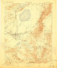
1910 Map of Carson Sink
USGS Topo · Published 1922About this map
Fallon serves as the central hub of this Great Basin landscape, situated where the Carson River divides into the Old River and South Branch to feed the sprawling Carson Sink. The map illustrates an era of industrial transition, where early chemical extraction is evidenced by the Borax Works and Borax Field at Eightmile Flat, while hard-rock mining ventures like the Nevada Hills Mine and Mizpah Mine dominate the eastern ranges.
Find a feature on this map
104 named features on this map. Tap any name to fly to it.
Don’t see what you’re looking for? This feature index may not catch every label — zoom into the map to look around manually.
Map Details
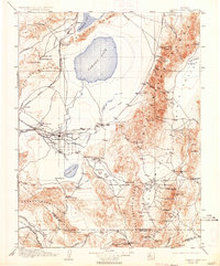
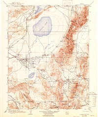
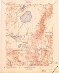
Editions of this 1910 Carson Sink Map
5 editions found

Other maps of this area

1886 · Granite Range
USGS Topo · 1:250,000

1890 · Wadsworth
USGS Topo · 1:125,000

1891 · Wabuska
USGS Topo · 1:125,000

1891 · Wellington
USGS Topo · 1:125,000

1892 · Wadsworth
USGS Topo · 1:125,000

1893 · Wellington
USGS Topo · 1:125,000

1894 · Granite Range
USGS Topo · 1:250,000

1894 · Wadsworth
USGS Topo · 1:125,000

1894 · Wabuska
USGS Topo · 1:125,000

1907 · Tonopah
USGS Topo · 1:250,000