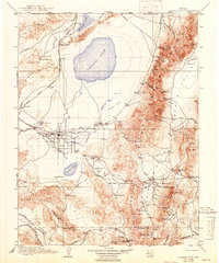
1910 Map of Carson Sink
USGS Topo · Published 1942About this map
Fallon serves as a central hub in this High Desert landscape, situated near the braided channels of the Old River and South Branch of the Carson. The early twentieth-century infrastructure of the region is defined by the Southern Pacific rail lines and mining activity scattered throughout the surrounding ranges. To the east, the Stillwater Range and Sand Spring Range are dotted with significant industrial sites, including the Nevada Hills Mine and the Borax Works near Fourmile Flat. Local history and genealogy researchers can find several named settlements and stage stops like Ragtown, Stillwater, and White Plains Huxley Sta. The map captures the hydrological complexity of the Carson Sink and Carson Lake before modern diversions fully altered the basin's flow, alongside established mining camps such as Fairview and Wonder during their peak production years.
Find a feature on this map
106 named features on this map. Tap any name to fly to it.
Don’t see what you’re looking for? This feature index may not catch every label — zoom into the map to look around manually.
Map Details
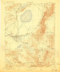
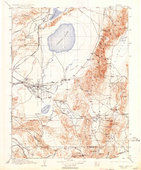
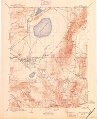
Editions of this 1910 Carson Sink Map
5 editions found

Other maps of this area

1886 · Granite Range
USGS Topo · 1:250,000

1890 · Wadsworth
USGS Topo · 1:125,000

1891 · Wabuska
USGS Topo · 1:125,000

1891 · Wellington
USGS Topo · 1:125,000

1892 · Wadsworth
USGS Topo · 1:125,000

1893 · Wellington
USGS Topo · 1:125,000

1894 · Granite Range
USGS Topo · 1:250,000

1894 · Wadsworth
USGS Topo · 1:125,000

1894 · Wabuska
USGS Topo · 1:125,000

1907 · Tonopah
USGS Topo · 1:250,000