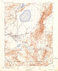
1910 Map of Carson Sink
USGS Topo · Published 1934About this map
Fallon stands as the agricultural hub of this high desert landscape, situated at the junction where the Carson River feeds into a network of canals and old channels. The map captures the region's hydrographic complexity, from the expansive Carson Sink to the disappearing waters of Humboldt Lake and Carson Lake. Beyond the irrigated valleys, the terrain is defined by the industrial extraction of Nevada's mineral wealth, evidenced by the Borax Works on Fourmile Flat and hard-rock operations like the Nevada Hills Mine near Fairview.
Find a feature on this map
96 named features on this map. Tap any name to fly to it.
Don’t see what you’re looking for? This feature index may not catch every label — zoom into the map to look around manually.
Map Details
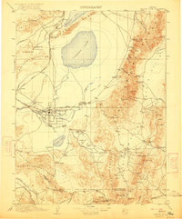
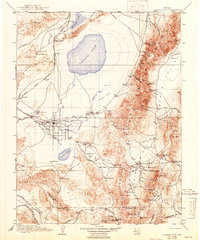
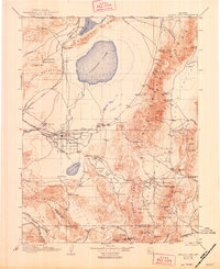
Editions of this 1910 Carson Sink Map
5 editions found

Other maps of this area

1886 · Granite Range
USGS Topo · 1:250,000

1890 · Wadsworth
USGS Topo · 1:125,000

1891 · Wabuska
USGS Topo · 1:125,000

1891 · Wellington
USGS Topo · 1:125,000

1892 · Wadsworth
USGS Topo · 1:125,000

1893 · Wellington
USGS Topo · 1:125,000

1894 · Granite Range
USGS Topo · 1:250,000

1894 · Wadsworth
USGS Topo · 1:125,000

1894 · Wabuska
USGS Topo · 1:125,000

1907 · Tonopah
USGS Topo · 1:250,000