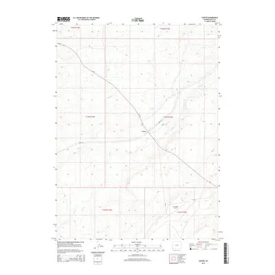
2015 Map of Carter
USGS Topo · Published 2015About this map
The high plains of Uinta County are anchored by the small settlement of Carter, a site historically shaped by the Union Pacific Railroad's path through southwestern Wyoming. This 2015 survey details a landscape defined by seasonal watercourses like Muddy Cr and Rock Cr, which carve through the arid terrain. The layout of the town itself is preserved in labels for Front St N and Bush St, providing a look at the local street grid near the rail corridor. To the south, the Fort Bridger Airport serves as a modern aviation landmark amidst traditional ranching country. Transportation remains central to the area's geography, with Leroy Rd and several county routes like CR-225 and CR-223 connecting the town to the surrounding townships. The map documents the persistent settlement patterns of this remote high-desert region, where life is governed by water access at Spring Cr and the infrastructure of the old transcontinental rail line.
Find a feature on this map
17 named features on this map. Tap any name to fly to it.
Don’t see what you’re looking for? This feature index may not catch every label — zoom into the map to look around manually.
Map Details
Editions of this 2015 Carter Map
This is the sole edition of this map. No revisions or reprints were ever made.
Other maps of this area

1954 · Ogden
USGS Topo · 1:250,000

1958 · Ogden
USGS Topo · 1:250,000

1960 · Ogden
USGS Topo · 1:250,000
1962 · Cumberland Gap
USGS Topo · 1:24,000
1964 · Fort Bridger
USGS Topo · 1:24,000
1964 · Carter
USGS Topo · 1:24,000
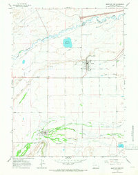
1964 · Mountain View
USGS Topo · 1:24,000
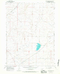
1964 · Austin Reservoir
USGS Topo · 1:24,000
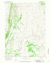
1965 · Bridger
USGS Topo · 1:24,000
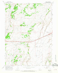
1965 · Leroy
USGS Topo · 1:24,000