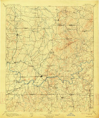
1896 Map of Cartersville
USGS Topo · Published 1914About this map
The Etowah River carves a winding path through this region, serving as the primary geographic anchor for late 19th-century settlement. Before modern bridges dominated the landscape, river transit relied on a network of named crossings including Woodley Ferry, Akerman Ferry, and Galt Ferry. The industrial and social life of the era is evident in the concentration of mills like Martins Mill and Cherokee Mills, while the Western and Atlantic Railroad corridor drives the growth of towns such as Adairsville, Cartersville, and Acworth. To the north, the terrain rises toward Pine Log Mountain, where smaller settlements like Folsom and Pine Log are situated away from the primary rail lines. The map captures a moment when traditional river fords and ferries were beginning to be supplemented by structures like Free Bridge and Wooden Bridge, marking a transition in local transportation.
Find a feature on this map
117 named features on this map. Tap any name to fly to it.
Don’t see what you’re looking for? This feature index may not catch every label — zoom into the map to look around manually.
Map Details
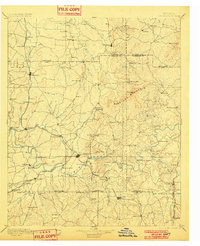
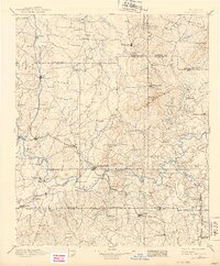
Editions of this 1896 Cartersville Map
4 editions found

Other maps of this area

1886 · Dalton
USGS Topo · 1:125,000

1886 · Ringgold
USGS Topo · 1:125,000

1886 · Rome
USGS Topo · 1:125,000

1888 · Ellijay
USGS Topo · 1:125,000

1888 · Atlanta
USGS Topo · 1:125,000

1889 · Tallapoosa
USGS Topo · 1:125,000

1890 · Suwanee
USGS Topo · 1:125,000

1890 · Cartersville
USGS Topo · 1:125,000

1890 · Atlanta
USGS Topo · 1:125,000

1891 · Marietta
USGS Topo · 1:125,000