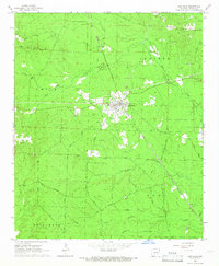
1965 Map of Carthage
USGS Topo · Published 1966About this map
Carthage serves as the central hub of this Dallas County landscape during the mid-1960s, situated at the junction of the Chicago Rock Island and Pacific railroad and local transport routes. The town’s layout is clearly defined, supporting nearby rural communities like Pickett and the agricultural lands bordering Moro Creek. The map reveals a complex network of timber and access routes, including the Eagle Tram Road and Tram Road, which speak to the area's industrial history in forestry. Cultural landmarks such as Mt Zion Ch and Bethel Cem provide critical touchpoints for genealogists tracking family histories in the Arkansas timberlands. The terrain is further marked by a series of creeks, such as Lawrence Creek and Tenmile Creek, and utility features like a prominent Lookout Tower and Substation, illustrating the integration of resource management and local infrastructure in this era.
Find a feature on this map
39 named features on this map. Tap any name to fly to it.
Don’t see what you’re looking for? This feature index may not catch every label — zoom into the map to look around manually.
Map Details
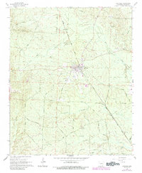
Editions of this 1965 Carthage Map
2 editions found
Other maps of this area

1903 · Camden
USGS Topo · 1:125,000

1953 · El Dorado
USGS Topo · 1:250,000

1955 · Little Rock
USGS Topo · 1:250,000

1956 · Little Rock
USGS Topo · 1:250,000

1957 · El Dorado
USGS Topo · 1:250,000

1958 · El Dorado
USGS Topo · 1:250,000

1960 · El Dorado
USGS Topo · 1:250,000

1960 · Little Rock
USGS Topo · 1:250,000

1964 · Little Rock
USGS Topo · 1:250,000

1964 · Bunn
USGS Topo · 1:24,000